 |
Lot Survey: |
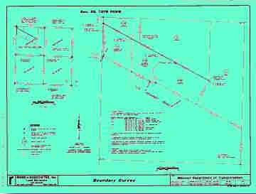 |
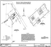
Boundary Survey: These surveys are normally described by Metes and Bounds and may require extensive research of adjoining deeds, original government surveys, highway plans, etc. A Boundary Survey usually requires field work on neighboring lands to verify or find existing monumentation. Because many deeds were prepared in an office and not actually surveyed, and others are just poorly written, it may require extra research and field work to determine the property lines. The comers should be marked in accordance with existing state standards, and the owner receives a drawing depicting what comers were set and what comers were found, and the relationship between deed lines and lines of possession. |
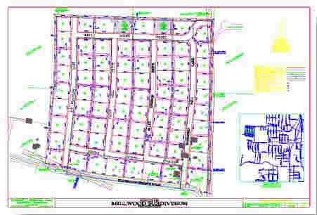 |
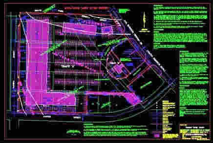
Subdivision Survey: This type of survey divides existing parcels into smaller parcels. These types of surveys are required to be recorded at the county recorder's office and must also meet all requirements of government agencies. State standards require a minimum of two permanent monuments per block. |
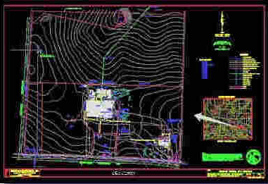 |
Topographic Survey: These types of surveys are graphic representations of physical features of the land depicting natural and man-made features, such as fences, buildings, utilities, hills, valleys, streams, lakes, roads, etc. They can be performed by field ground methods or by aerial photographic methods. The preciseness of this type of survey depends on what it is to be used for. These surveys should be completed in conjunction with a ''Boundary Survey to show lines of possession. |
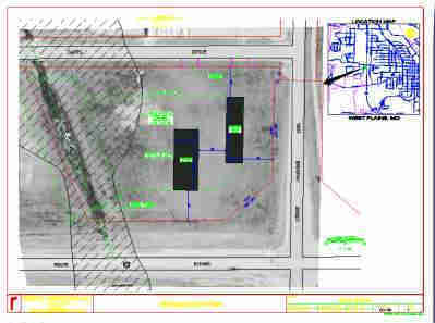 |
Plot Plan or Site Plan: This type of survey may be required by local authorities or you may require it to insure that a proposed house or structure is constructed in the proper location and not over an easement or building set back line. A drawing may be required showing the proposed building location. |
 |
Mortgage Title Inspection: This is a report on the location of improvements and a cursory check for encroachments onto or from the subject property based on existing evidence. This does not constitute a boundary survey and is subject to any accuracies that a subsequent boundary survey would disclose. No property comers will be set, and it should not be used or relied upon for the establishment of any fence, structure or other improvement. No warranty of any kind is extended therein to the present or future owner or occupant. This type of report must be in compliance with the 'Kansas minimum standards for Mortgage Title Inspection.'' |
 |
ALTA / ACSM (American Land Title
Association / American Congress on Surveying and Mapping) Land Title Survey: This is the most comprehensive type of survey and improvement location. It covers all the aspects of a boundary survey and improvement location and identification of any additional evidence of possession or use which could be adverse to the interests of the purchaser. This type of survey is most commonly performed on commercial property. |
|
||
|
Types of Surveys
|